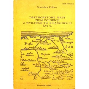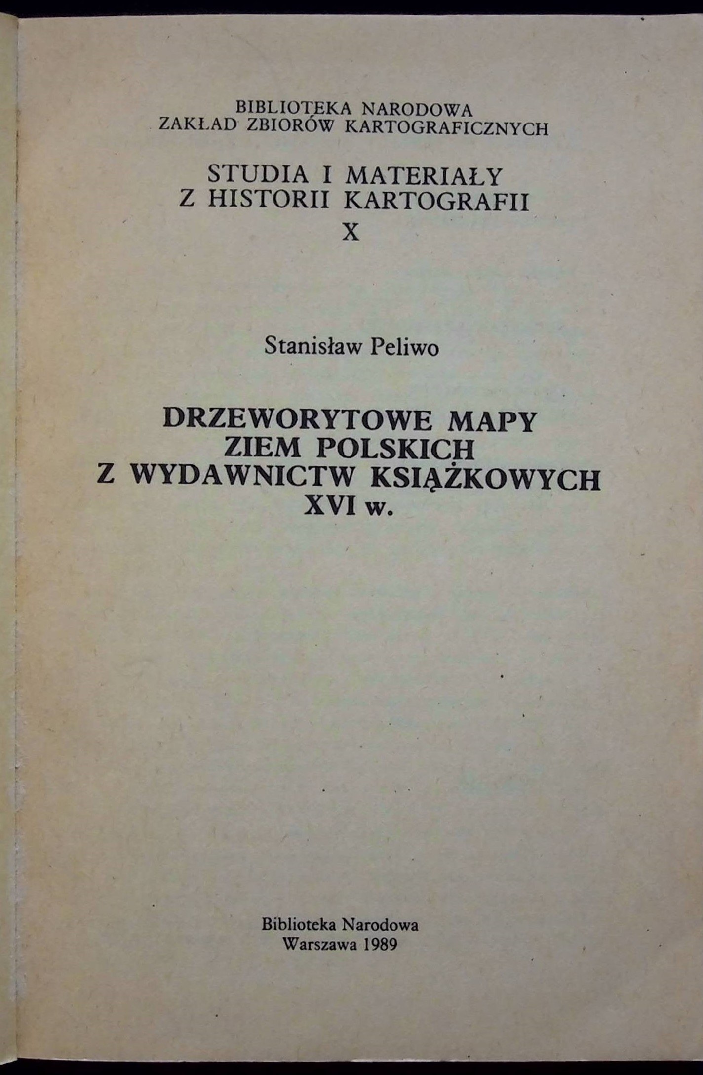


PELIWO Stanislaw - DRZEWORYTOWE MAPY ZIEM POLSKICH FROM THE BOOKS OF XVI W.
Biblioteka Narodowa, Warsaw 1989. Dimensions 20.5x14.5cm; pages 138. Booklet binding(slight rubbing of edges, corners, soiling).
Studies and materials from the history of cartography X. Fold-out maps outside the text 3 and maps in the text. Publication allowing to identify maps of Poland from "Rudimenta Cosmographica" by J. Honter, "Geography" and "Cosmography" by S. Münster.