signature 2
600x600 mmm
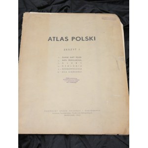
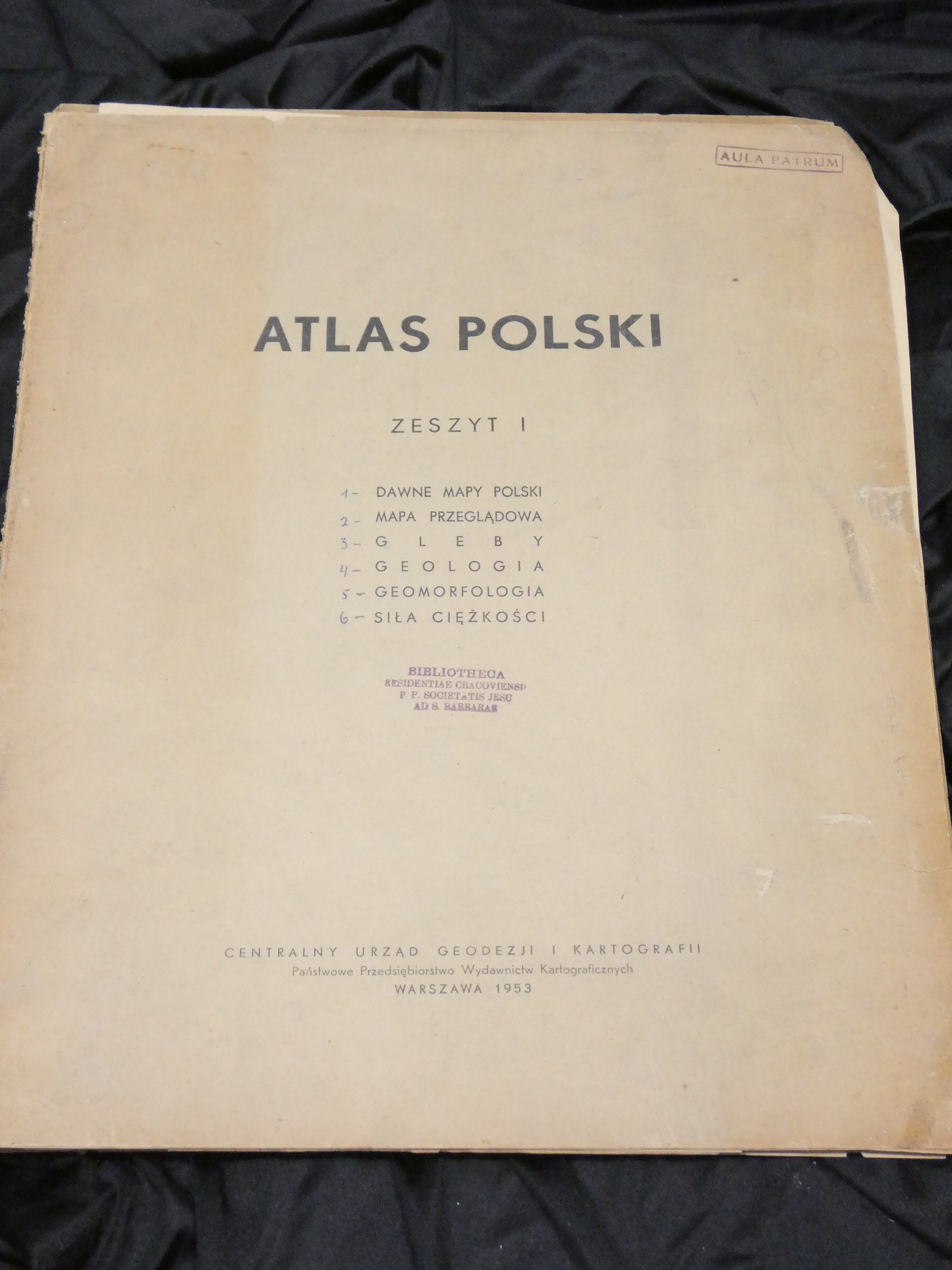
Atlas of Poland. Notebook 1.
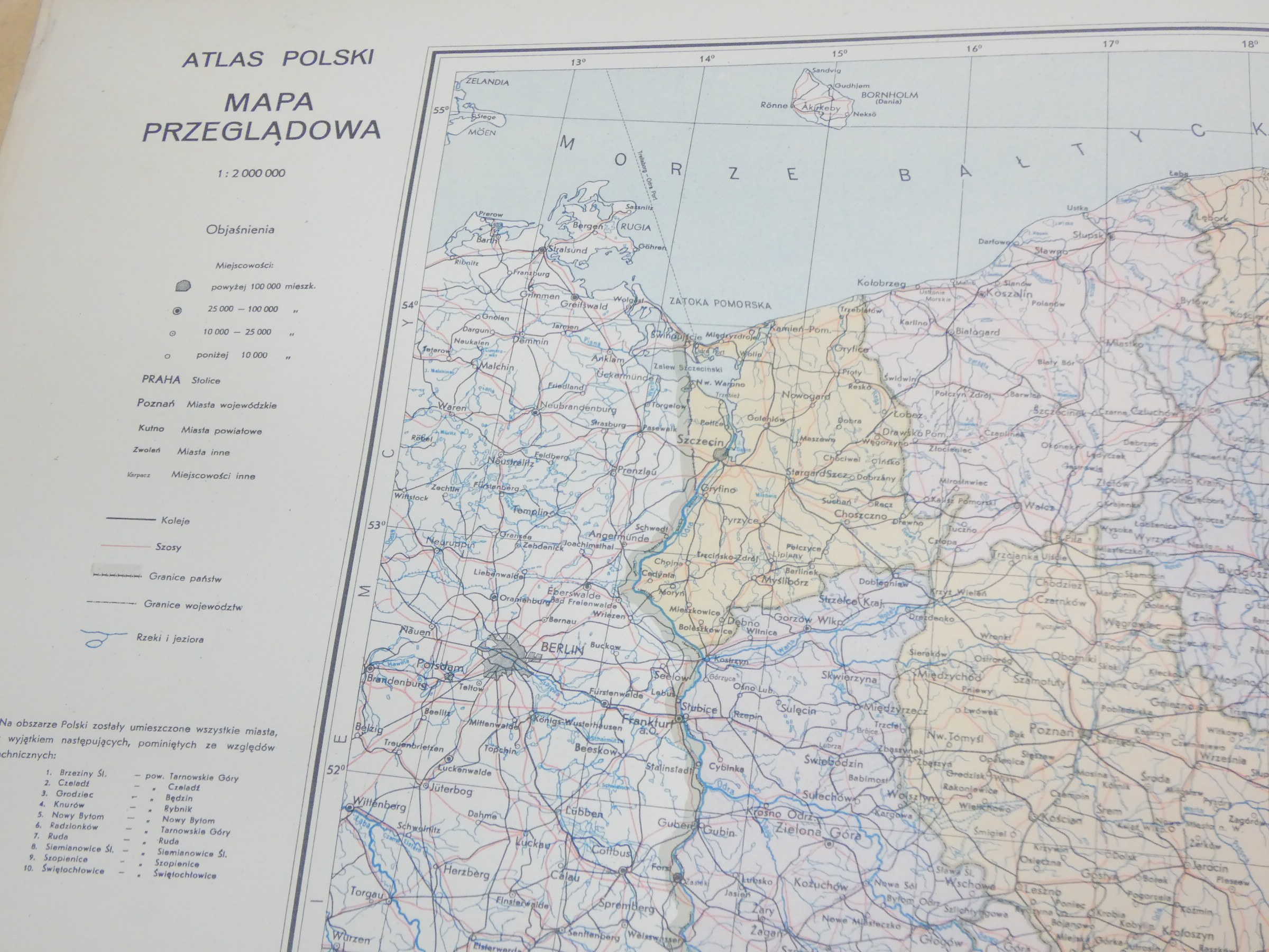
Map scale [Miscellaneous scales] ; Albers projection.
Published Warsaw : Central Office of Geodesy and Cartography : Państwowe Przedsiębiorstwo Wydawnictw Kartograficznych, 1953.
Description fiz. 1 atlas ([6] plates) : multicolored maps ; 43 cm.
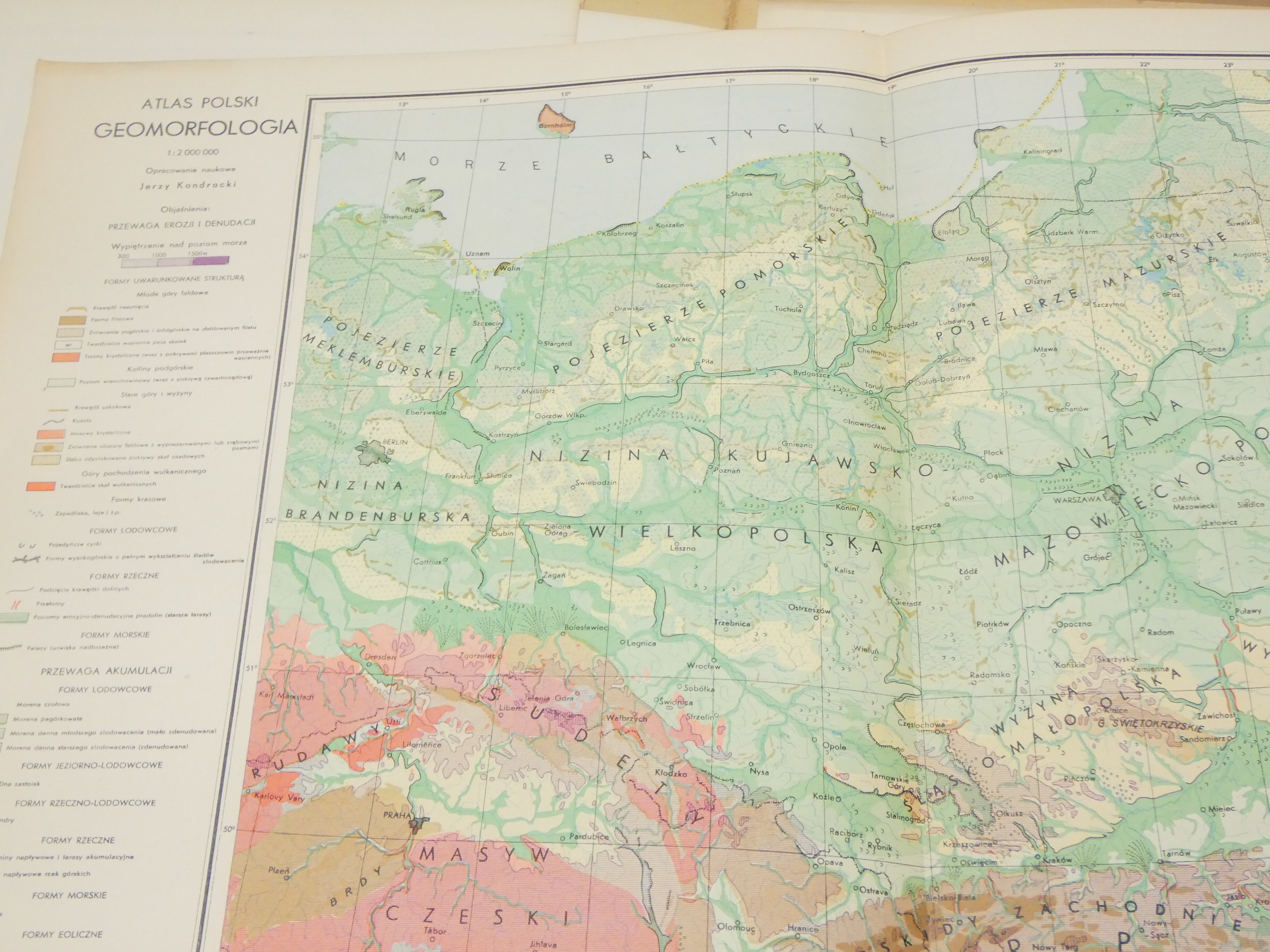
Additional entries Kondracki, Jerzy (1908-1998). Geomorphology 1:2,000,000
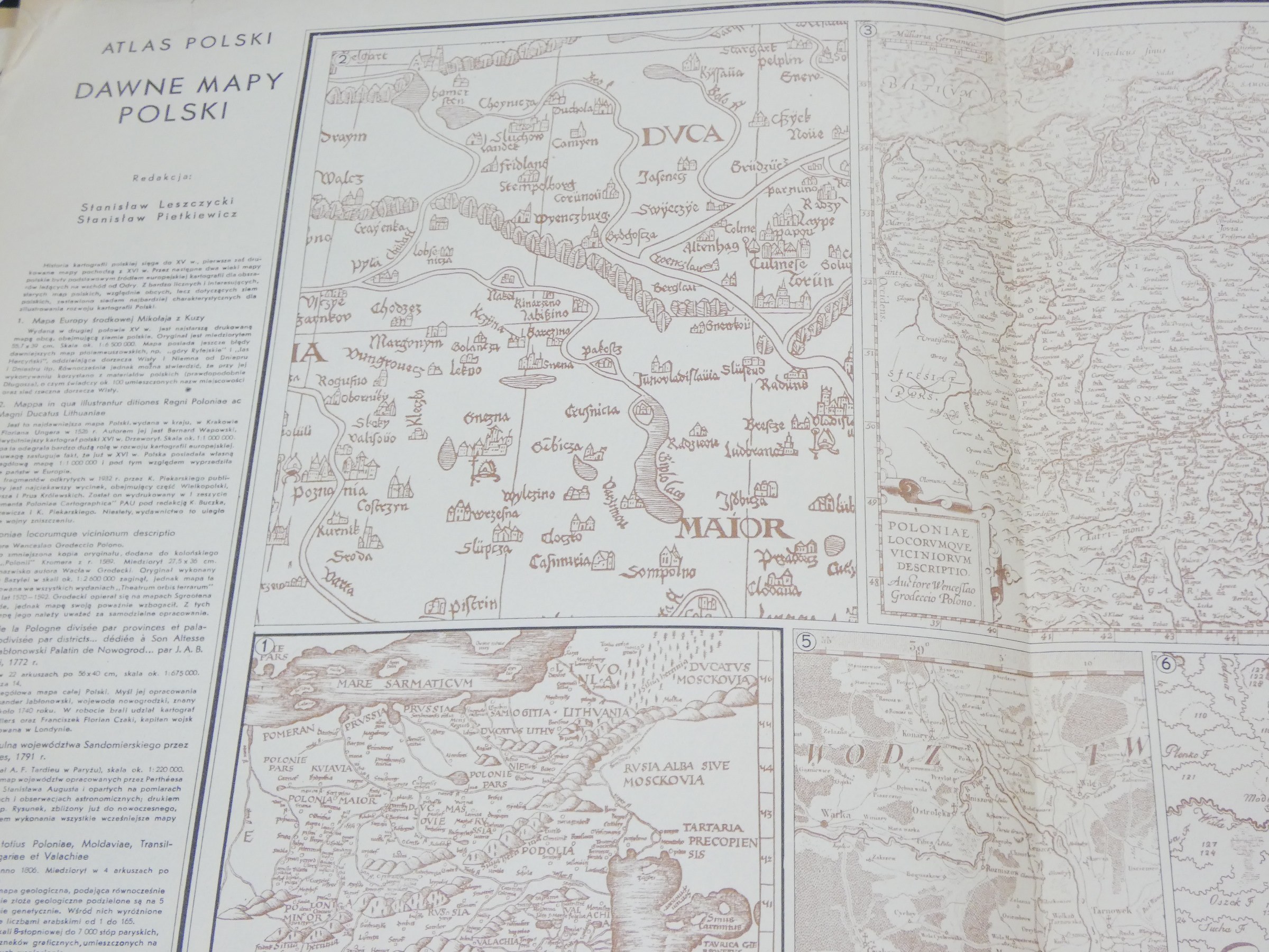
Leszczycki, Stanisław (1907-1996). Old maps of Poland [various scales].
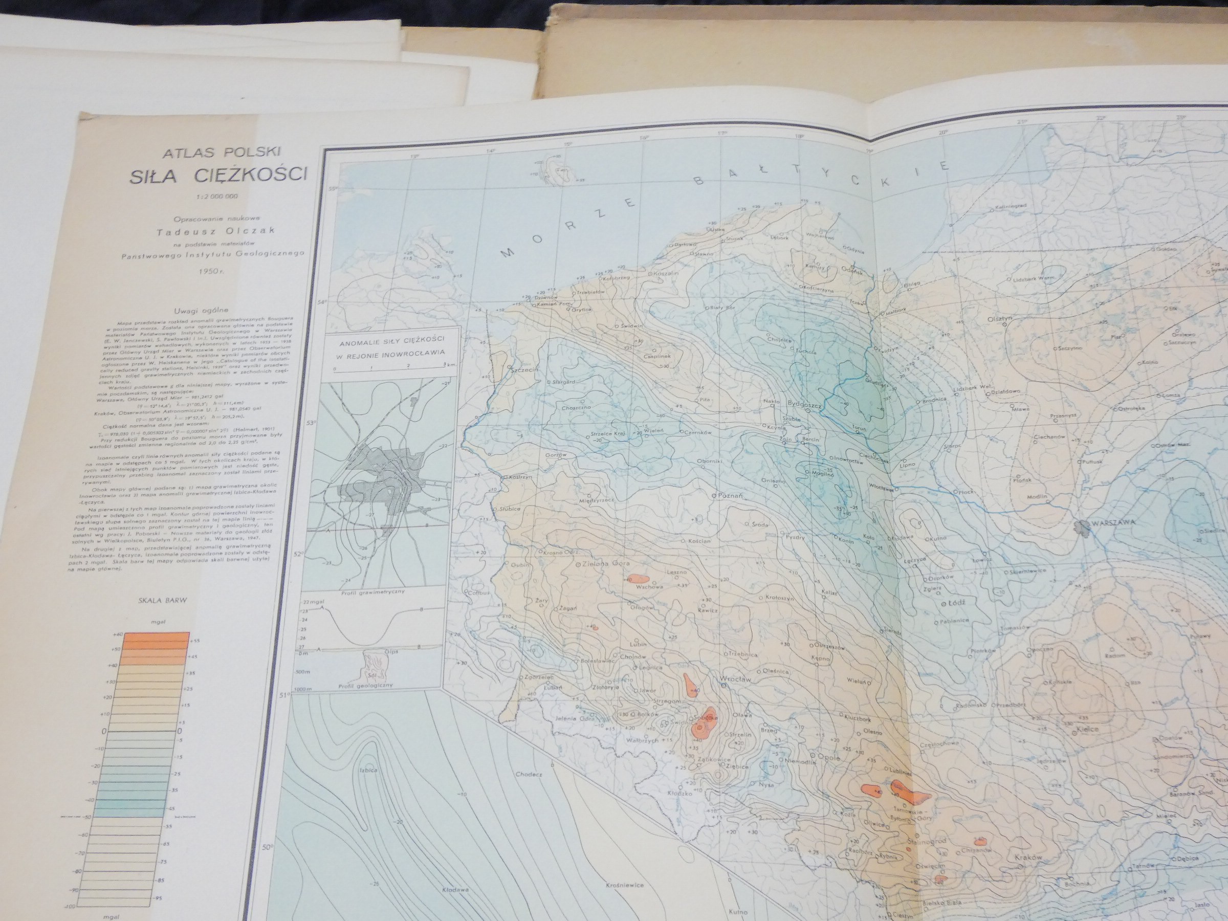
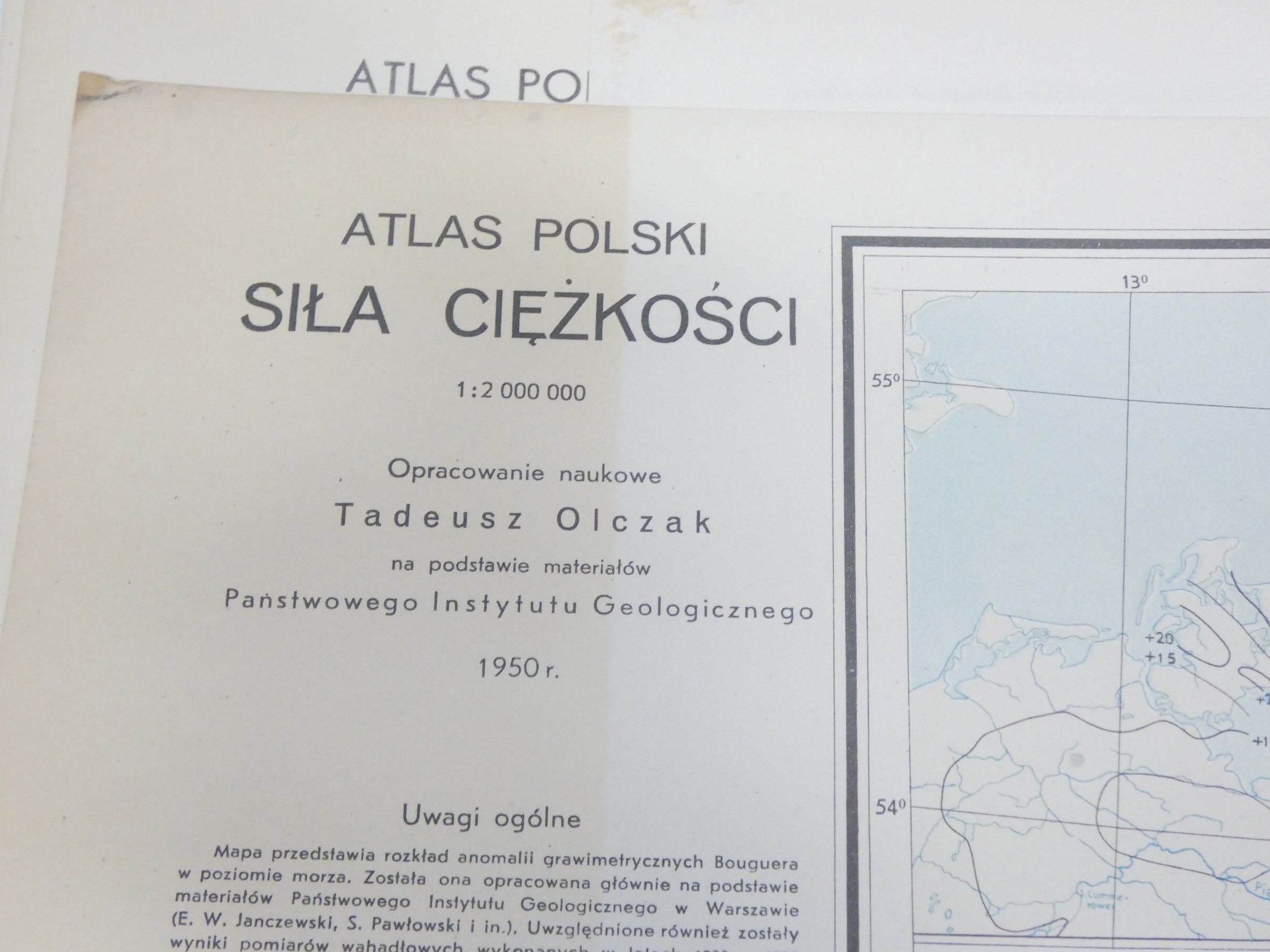
Olczak, Tadeusz (1907-1983). Gravity 1:2,000,000
Pietkiewicz, Stanislaw (1894-1986). Old maps of Poland [various scales].
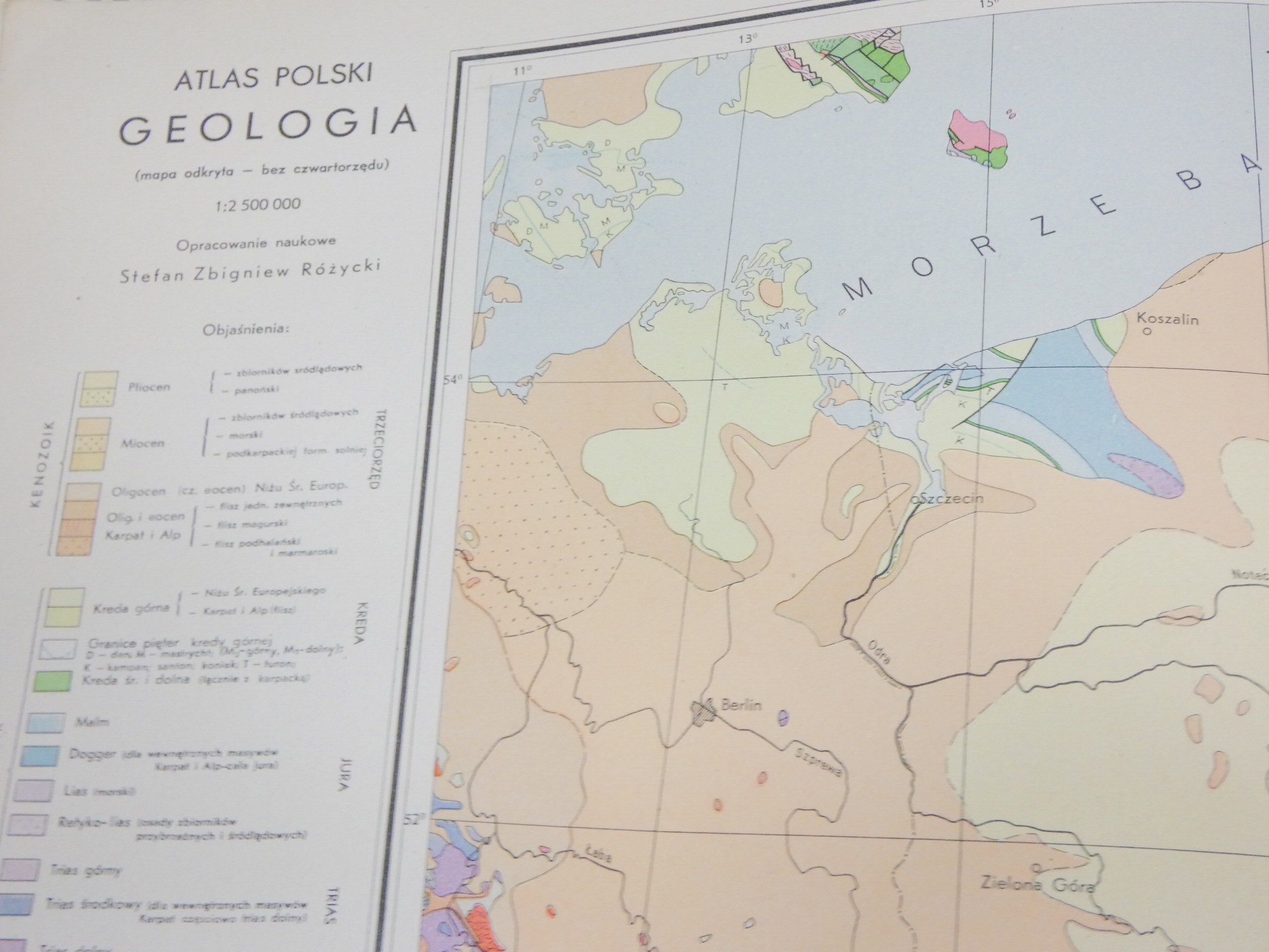
Różycki, Stefan Zbigniew (1906-1988). Geology 1:2,000,000
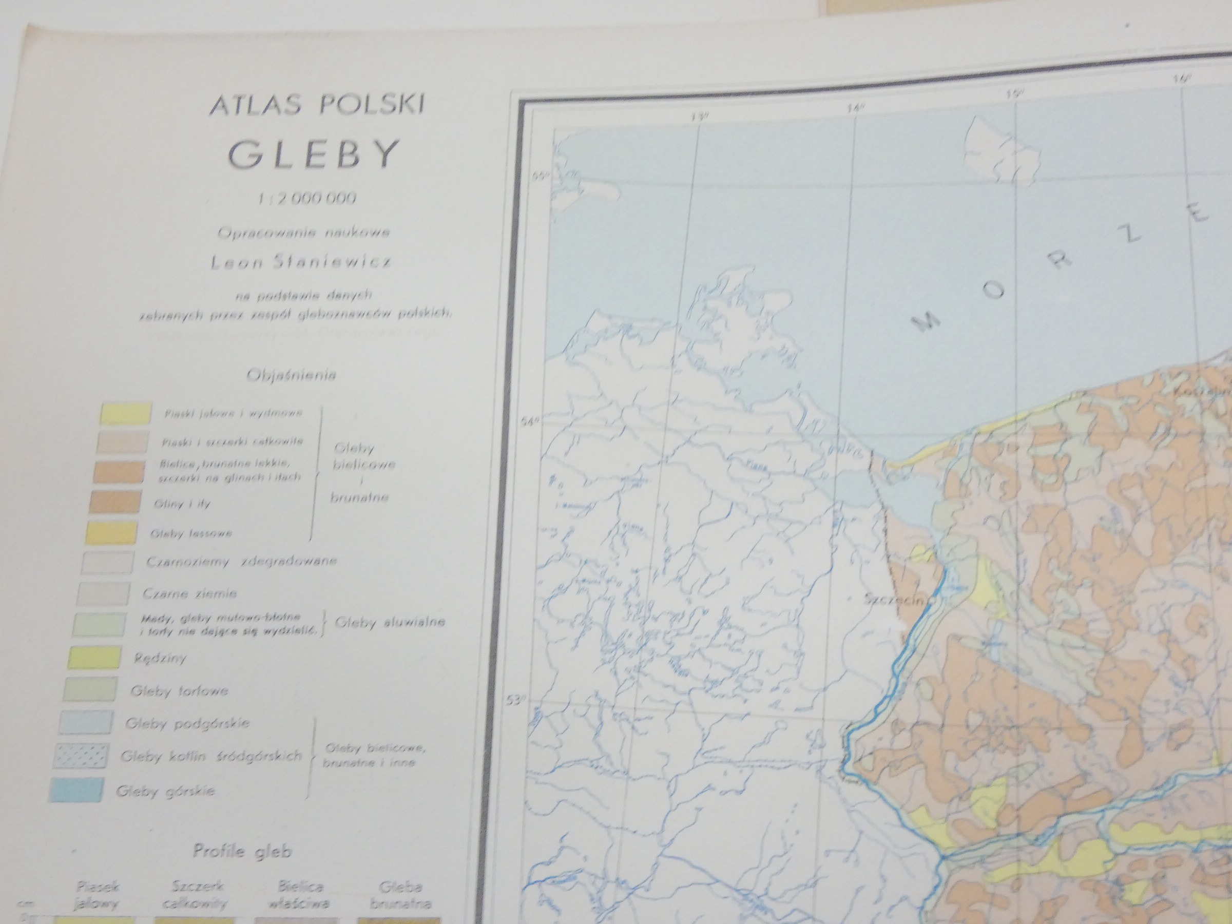
Staniewicz, Leon (1900-1953). Soils 1:2,000,000
Central Office of Geodesy and Cartography Publisher.
Państwowe Przedsiębiorstwo Wydawnictw Kartograficznych Opracowanie
Foreword Geophysics
Geology
Soil science
Gravitation
History
Administrative division
Political division
Land relief
Poland
Geographical atlas
Administrative map
Geological map
Geomorphological map
Soil map
General geographic map
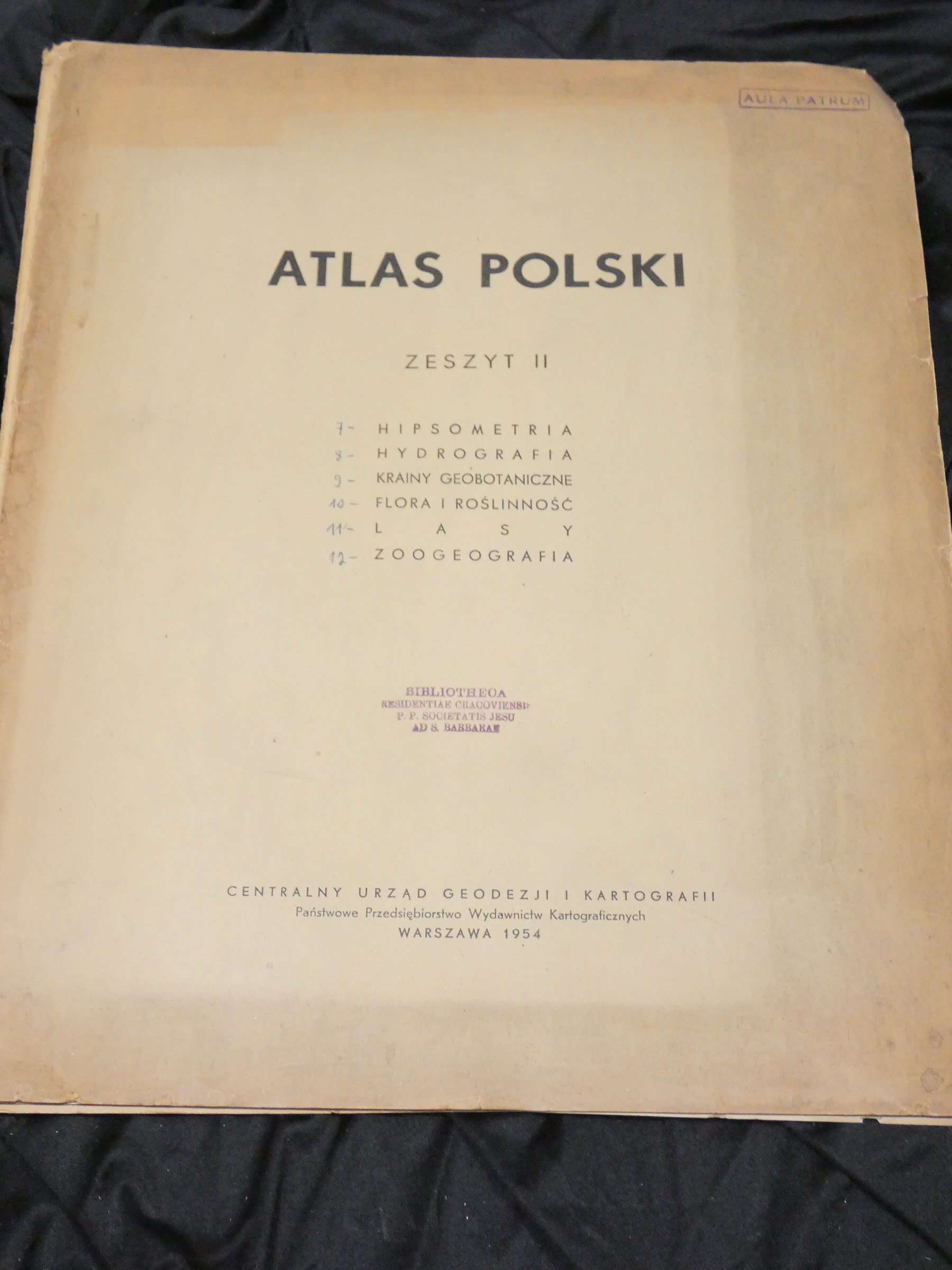
Atlas of Poland. Notebook 2.
Map scale [Miscellaneous scales].
Published Warsaw : Central Office of Geodesy and Cartography : Państwowe Przedsiębiorstwo Wydawnictw Kartograficznych, 1954.
Description fiz. 1 atlas ([6] plates) : multicolored maps ; 44 cm.
Additional entries Fudakowski, Józef (1893-1969). Zoogeography
Szafer, Władysław (1886-1970). Flora and vegetation
Szafer, Władysław (1886-1970). Geobotanical lands and forest tree ranges 1:2,000,000
Środoń, Andrzej (1908-1998). Flora and vegetation
Uhorczak, Franciszek (1902-1981). Forests 1:2,000,000
Central Office of Geodesy and Cartography Publisher
Państwowe Przedsiębiorstwo Wydawnictw Kartograficznych Opracowanie
Foreword Botany
Geography
Hydrography
Zoogeography
Poland
Geographical atlas
General geographic map
Natural history map
Sozological map
Hydrographic map
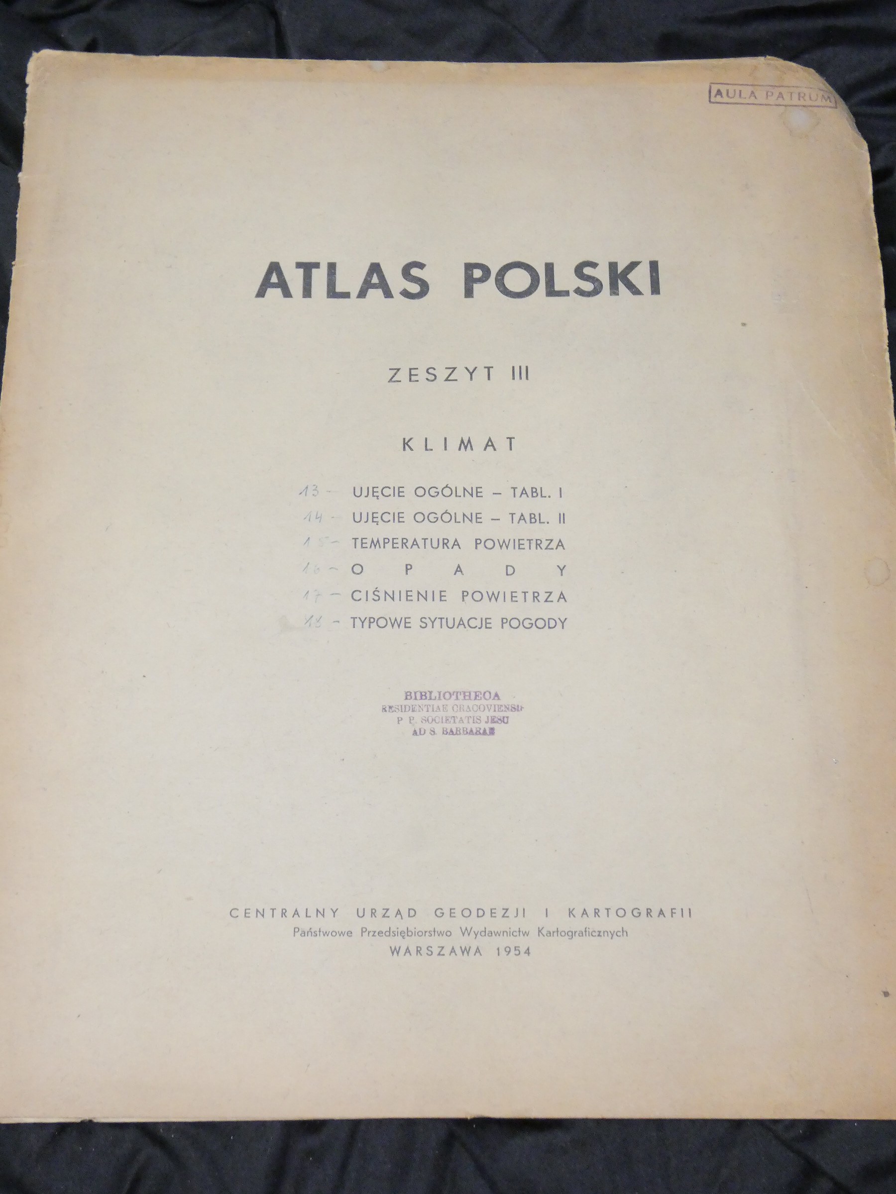
Atlas of Poland. Notebook 3.
Map scale 1:25 000 000.
1:5 000 000.
1:6 000 000.
Published Warsaw : Central Office of Geodesy and Cartography : Państwowe Przedsiębiorstwo Wydawnictw Kartograficznych, 1954.
Description fiz. 1 atlas ([6] plates) : multicolored maps ; 44 cm.
Additional entries Kosiba, Alexander (1901-1981). Climate, air pressure
Kosiba, Alexander (1901-1981). Climate, typical weather situations
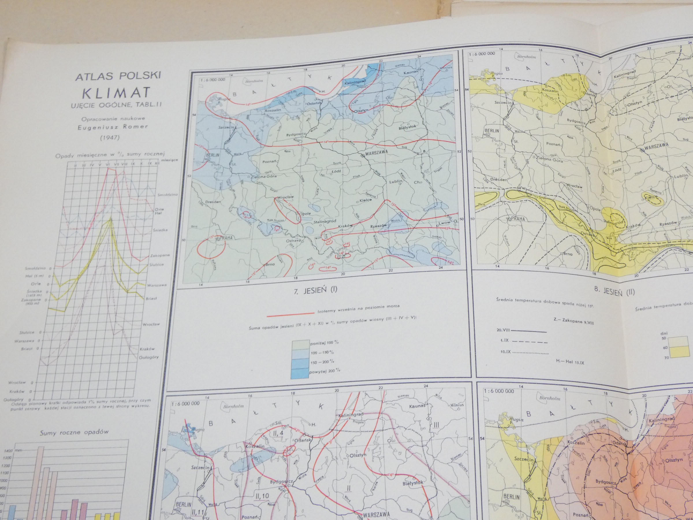
Romer, Eugene (1871-1954). Climate, general approach, vol. 1.
Wiszniewski, Waclaw (1908-1974). Climate, precipitation
Central Office of Geodesy and Cartography Publisher
Państwowe Przedsiębiorstwo Wydawnictw Kartograficznych Opracowanie.
Foreword Geography
Climate
Meteorology
Europe
Poland
Geographical atlas
Nature map